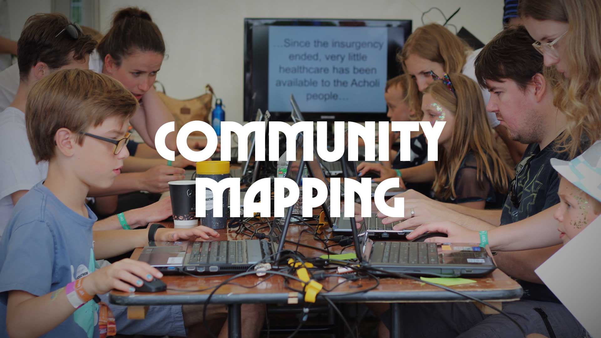
At Community Mapping, our goal is to create maps of previously un-mapped areas of the world, to help address chronic humanitarian crises.
Our methods are simple, volunteers fill in blanks on the map by drawing around buildings, tracks, and other features that can be seen in satellite imagery on OpenStreetMap. The data is made freely available for anyone who wants it and supports the production of digital and paper maps that are freely available to local people.
We work closely with local partners, using a bespoke paper-based system to validate the data that we have created at events like bluedot!


